↩ Tim Sahre

Environmental Informatics | Bridging Technology & Ecology for Better Futures
Interested in learning and implementing multidisciplinary approaches to complex questions and passionate about utilizing technology to solve pressing environmental challenges, my academic path has been a blend of environmental science and IT. During my studies, I mastered crucial technical skills in environmental information systems, databases, and web technologies, further developing my expertise in environmental analysis. I worked on projects ranging from the use of environmental information systems to ecological data analysis, combining theoretical knowledge with practical applications to solve contemporary environmental problems.
View My LinkedIn Profile
Dynamic Map Visualizer
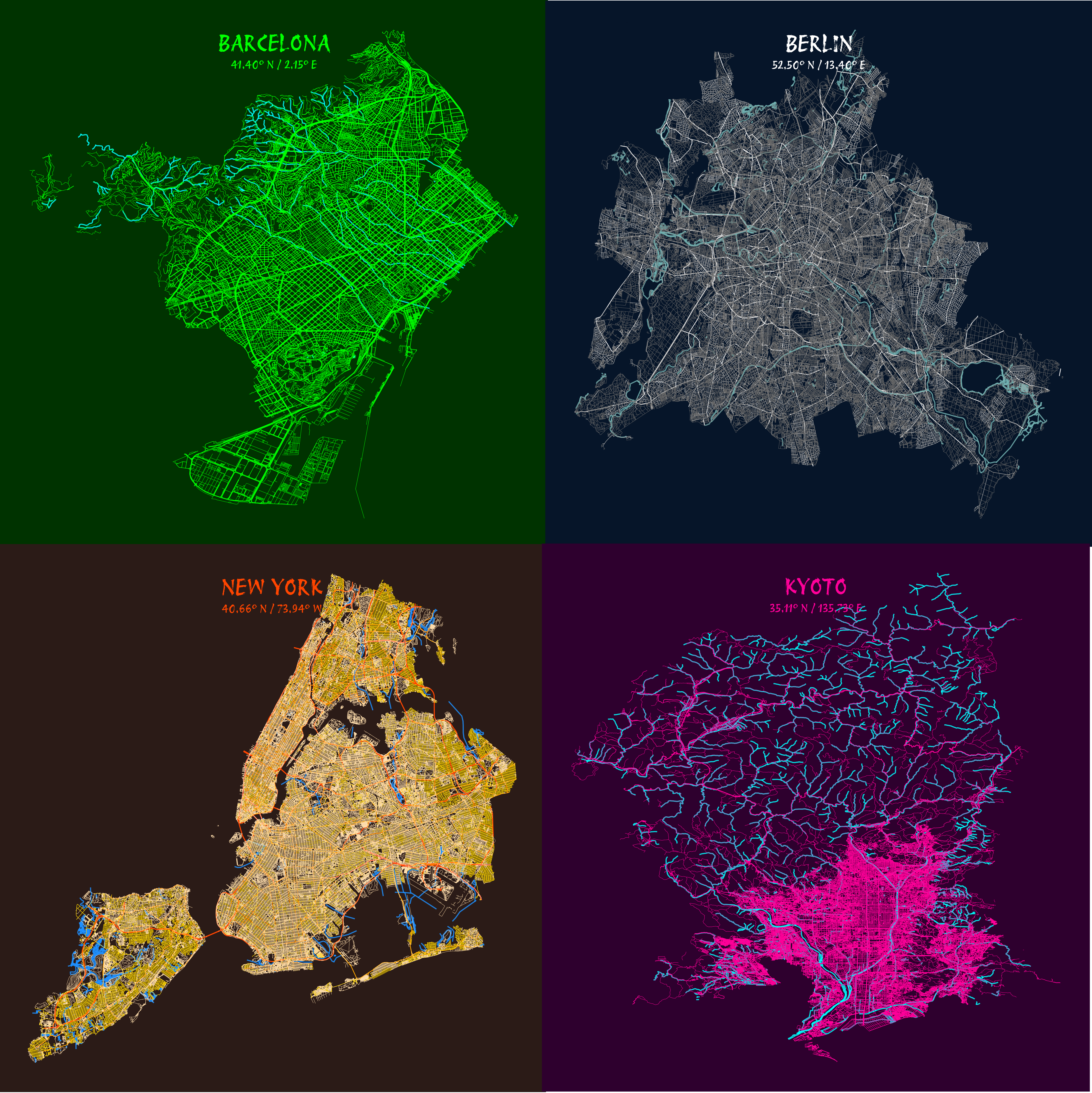
The Dynamic Map Visualizer is a Python-based tool designed to generate visually compelling maps of city street networks and waterways using OpenStreetMap data. It processes geospatial data to create customizable maps with various pre-defined color schemes or lets you define your own. Key features include dynamic adjustment of map titles, subtitles, and output file names based on the selected location, ensuring personalized and organized results. The tool supports flexible customization, including user-defined fonts and text colors, delivering high-quality visualizations suitable for presentations or creative projects.
Examples
